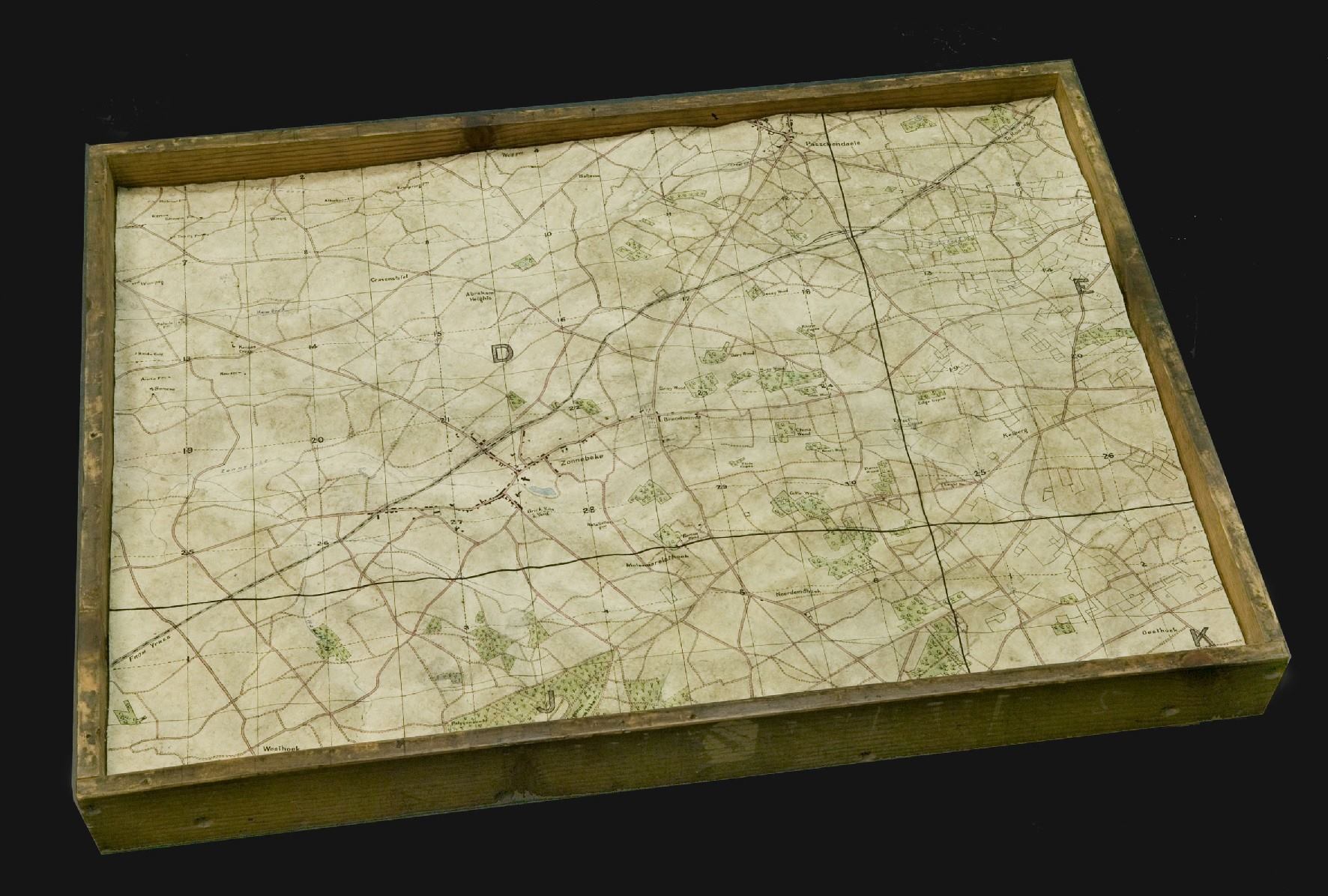
Relief map of Zonnebeke area, Belgium, 1919.
These maps were made in London by the Australian War Records Section, by men who were still in England, waiting to be repatriated home, after WWI.
The reasons behind the creation of these maps are unclear. Maps like this one were made with a final coat of papier-mâché. Once the map was dried, details were transferred from the relevant 1:10,000 or 1:20,000 trench map by hand. All those details, including map grid squares were included on the items as they were maps in the truest sense of the word, not just models of the landscape.
Comments are closed.