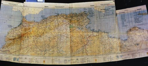
Folder: Maps Page 2 of 3

106

106

1944 version of Buckminster Fuller’s Dymaxion map.

105

105

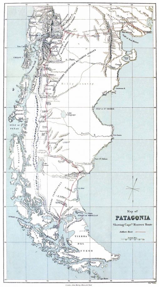
Map of Patagonia From At Home with the Patagonians: A Year’s Wanderings Over Untrodden Ground from the Straits of Magellan to the Rio Negro By George Chaworth Musters…

Afrique Sud - Madagascar
Service Géographique de l'Armée

Institute Géographique National, Paris, 1934

104

103

103

Detalhe da Carta Militar de Portugal Série M888- Folha 181 – Vila Franca das Naves (Trancoso).

Desolation Islands or Kerguelen Islands.
In French these islands are known as Îles Kerguelen or Archipel des Kerguelen.
Being more than 3,300 km away from the nearest populated location, the Desolation Islands are one of the most isolated places on Earth.

102


101

101

North Africa, 1942 (German unknown source)

100

100

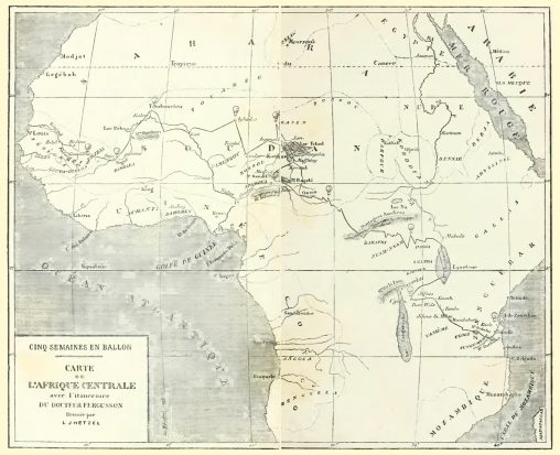
Mapa retirado do livro “Cinq semaines en ballon”, de Jules Verne (pág. 180-181. 1863, ilustração de Édouard Riou).

99

99

Batalha Naval (fonte desconhecida)

98

98

City Plan of Konigsberg, 1938.

97

97

Rede da Madrugada, STCP, Setembro 2012.